Munsyari to Namik Trek | May 2026 | Indian Western Himalayas Traverse Guide - Pithoragarh, Uttarakhand
Munsyari to Namik is a Trek in Kumaon Region of Pithoragarh District Uttarakhand. Complete Guide, No of Days, Route with GPX file, Food Management, Elevation Gain, In between Village.
This is the Fourth Section of 560 KM Trans Uttarakhand Traverse. You can read about the Uttarakhand Traverse here. In the last section we reached Munsiyari, do read the detailed blog on the previous section from Madhkot to Munsyari [here].
Earlier there was no route from Munsyari to Namik Village, However there is a trail from Lilam to Namik village which passes through Quirry village. I was in Munsyari and thinking of reaching Rur Khan Pass from where trail towards Namik Village passes via Khaliya Top. Which is on the South-East of Rur Khan Pass and there is a same Ridge line joining both. However, you will have to do entry and come back before evening if you are going via Khaliya Top.
With the disappointment decided to go via quirry village, then from the local with whom i was discussing my plan, came to know that there is one more trail passes through Mesar kund and enter the same valley, below the Rur Khan Pass. Although on the map the trail was not mapped, As i was new to Independent hiking and always wanted to contribute something to exploring the trails in the himalayas. This was the first chance for me to live that moment. Took a decision to do this exploration, i was prepared in terms of food, campsite and water with next day plan.
Let me explain to you on the Map showing the old route and the new route which i mapped.
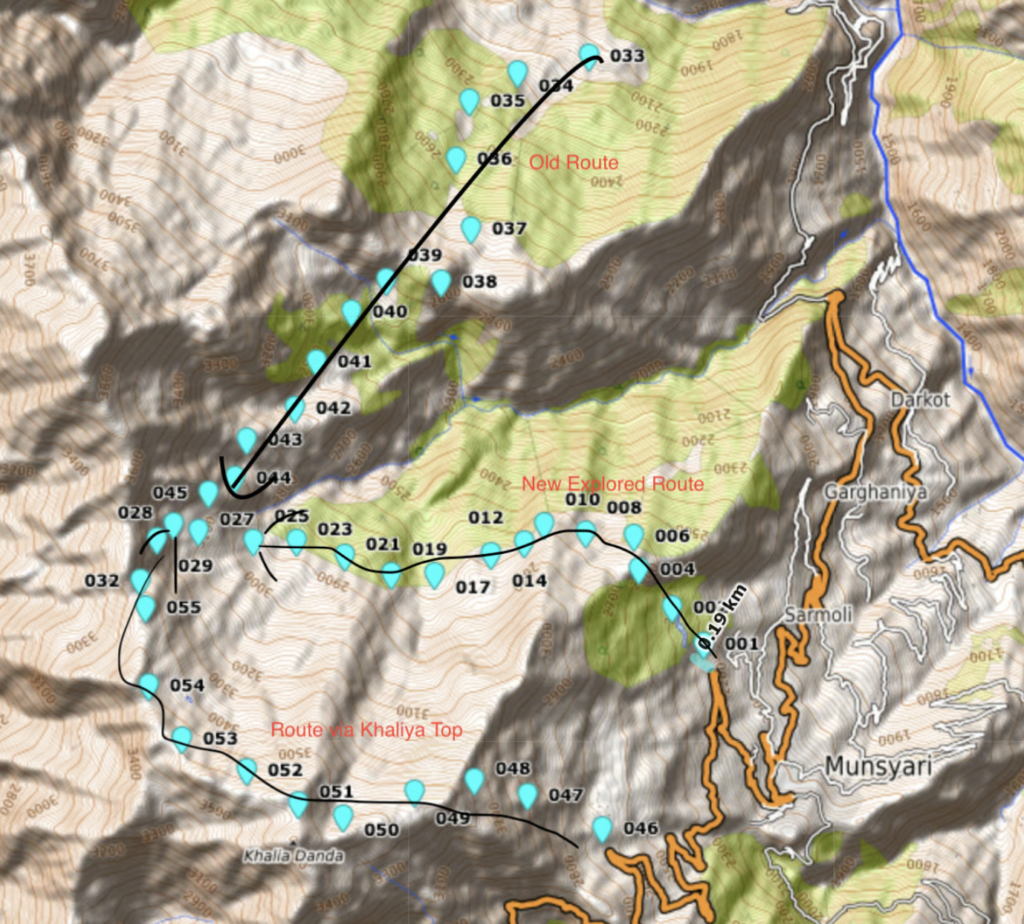
You can download the newly mapped route GPX from here.
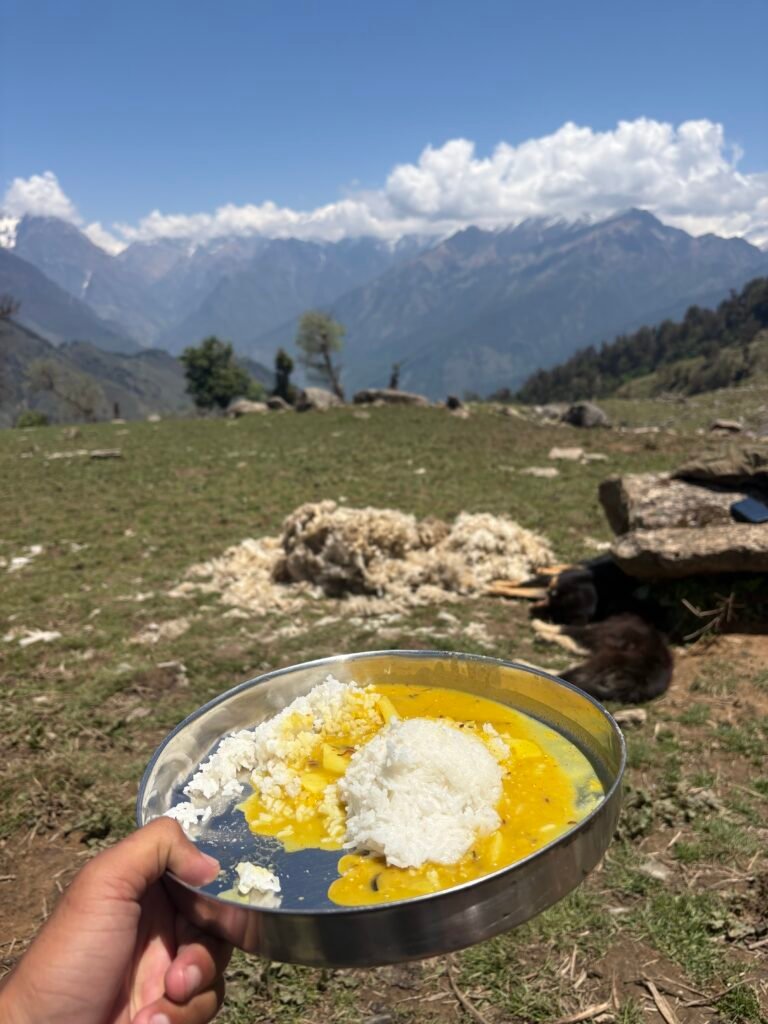
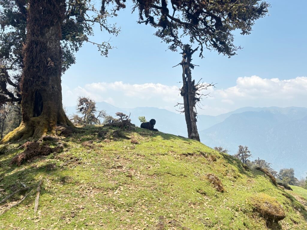
Mesar Kund is a touristic place, although the pond is not being kept in a good condition. From Munsyari a 15 to 20 minutes of hike you reach the pond. Beautiful lush green forest around the pond, Then you move North-West on the trail through the forest and cross the Ridge, you enter the valley of Senar Gadhera (Gadhera is a stream). You can overlook this whole valley from Rur Khan Pass. As you can see above in the picture you move west on the slope for about 3 to 5 km and reach an intersection point where all 3 trail intersect just below Rur Khan Pass. In between if you are going in a right season you will meet lot of shepherds. Few shepherds were having breakfast so they stopped us and insisted to have little rice and sabzi, to which we couldn’t say no. At the Intersect there is a meadow to pitch your camp alongside the shepherds camp. However, i have identified a very beautiful campsite along the way which i would not like to disclose. It is the most beautiful campsite i have ever seen, in front you will get the view of snow capped peaks, on the right and left a small stream for drinking water. Above you there are small tree with beatiful flowers on them and a green grass.
From this point there is a steep 600 m climb up to Rur Khan Pass which stands tall at the Altitude of 3500 meter. After crossing the pass you hike down into a uninhabited valley, However there are campsite on the both side of “Jakhuli Nadi”. After hiking down for about 3 km, I saw a blue tarp and heard sheeps. I was happy to hear them, reason i know what i was expecting a hot tea. Shepherds are very hospitable peoples, the first thing they will do when they see someone is to make a tea for them. Around 4 PM i reached the campsite and offered a hot Tea.
Cleaned myself in the stream nearby and changed to dry clothes, pitched my tent. If you are new to Independent hiking try to experience sleeping in shepherds camp, it boost your confidence outdoor. We sleep in closed tent with having security in mind, however sleeping under a Tarp breaks that boundary of security or i would say remove the fear of sleeping without any walls around us in a place full of animals. I exchanged my Aloo pratha with their chapati and Aloo Sabzi, because it is more delicious. And around 8 PM went to sleep.
Next Morning woke with sheeps all around my tent. Followed the same morning drill packed everything and started moving. You hike down a km till “Jakhuli Nadi” and cross it, now there is a hike up of 4 to 5 km till the next Pass “Sur Sungri Khal” stands at an altitude of 3200 meter. Before the climb had a bun and peanuts in breakfast. When you are hiking, i never prefer a comfort, sometimes you get it but most of the time you don’t. That is the reason i like being minimalistic and move Alpine style. But important thing is you have to drink lot of water whenever you get a chance because that is the only medicine you need there. In more than 1100+ km of hiking in the Himalayas not a single day i get fever or cold, even though i hiked high altitude passes in Ladakh. It is my personal belief that when your body is physically working this much you won’t get any disease.
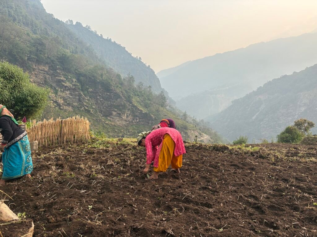
Around 10:30 AM reached the pass and then you get to see beautiful meadows and India hikes camp. From there you can climb a peak called “Rantham Top”. Hiking down to Namik does cost you your knees, but all i was thinking about the food i am going to eat. Around 3 PM reached Namik and as such there is no dhaba, but you can have food in homestays. Talking about the network, i had two SIM one is of JIO and another one AIRTEL. However, the network coverage was not that good. After having lunch, I decided to move to Gogina village which was 5 km from there.
You hike down to Ram Ganga River and cross it using the bridge. Then you move south, there is no trail mapped on the OSM but it is easily identifiable. after few hundered meter you will see a road. There are few shops near the village as well as homestays. You can get a Community WiFi as well and a good network coverage. I paid 1000 rs including dinner and breakfast. That marked the end of day.
You can read previous section Blogs.
Final Note for Independent Hikers
If you are interested in learning independent and solo hiking in the Indian Himalayas, you can opt for the Life On Trails Field Bootcamp in Manali – a 5-day field bootcamp, not just theory.
Where I share my knowledge from hiking 1100+ km from Uttarakhand to Leh Ladakh. I teach Navigation Techniques, Campsite & Shelter Selection, Food & Water Management, Topography and Contouring, Minimalist Gears, Season & Weather Selection, Wildlife & Safety, and Culture & Villages.
You can reach out to me on WhatsApp: 8800822842 or visit lifeontrails.in