Pana to Joshimath via Kuari Pass Trek | Trail Log, Campsite & Route Map - May June 2026
This is the 11th Section of Trans Uttarakhand Traverse a 900 km sub-4000 meter hike through uttarakhand from East (Dharchula) – West(Sewa) Himachal Pradesh

This blog is Part 11 of my Trans Uttarakhand Traverse Series
Full Traverse: Trans Uttarakhand Traverse Complete Guide with Route GPX
Previous: Sitel to Pana | Next: Urgam to Dumak (Coming Soon
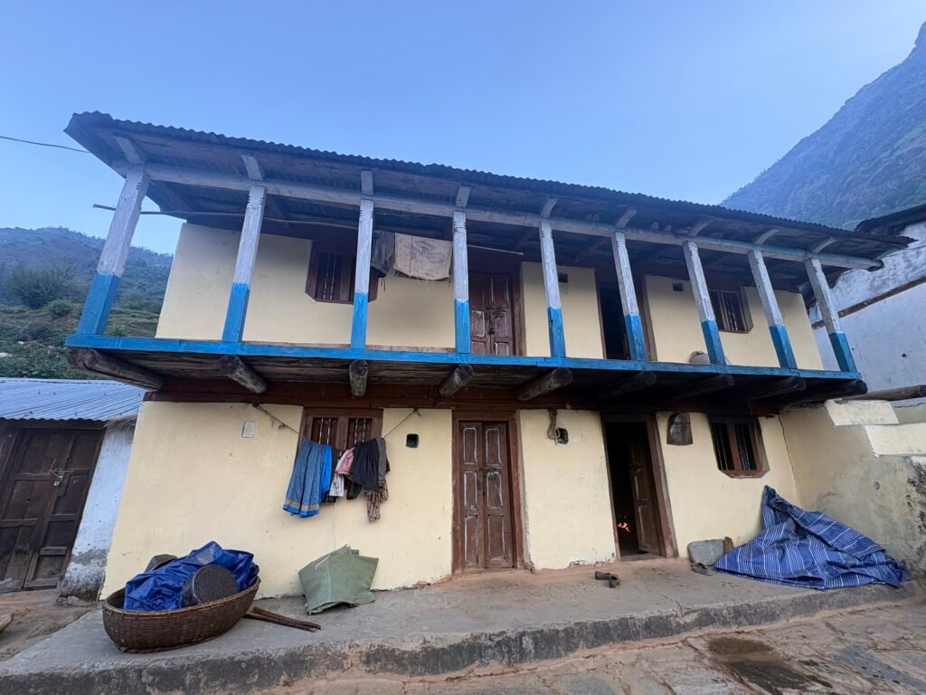
I woke up around 6 am and was served Tea by the guy who let me stay at his house. I didn’t find any homestay specifically, however villagers might provide stays for the few hikers who like to stay there. My suggestion is to pitch a tent just across the road there is a open meadow only condition is if you have your own food because there is no dhaba there from where you can have only food. Packed my bagpack and had a breakfast, then i went to meet the soldiers staying in the next house. They were also ready, i met their officers a Major and recently commissioned Leuitenant. We had a conversation for like 10 minutes. They were hiking Lord Curzon Trail from Wan to Joshimath through Adventure wing of Indian Army.
We left around 7:30 am for first kilometer there is climb towards North-west where you have to cross a ridge, then you enter a uninhabited valley. From there you move north-east into the valley and trail condition is good as it is used by shepherds. Many shepherds i met who were supposed to reach Niti Valley, so during this season many cross Kuari Pass and enter Dhauli Ganga River Valley.
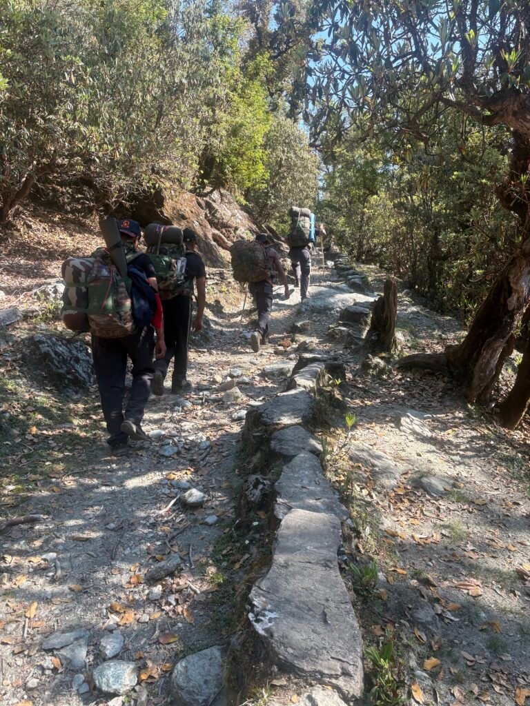
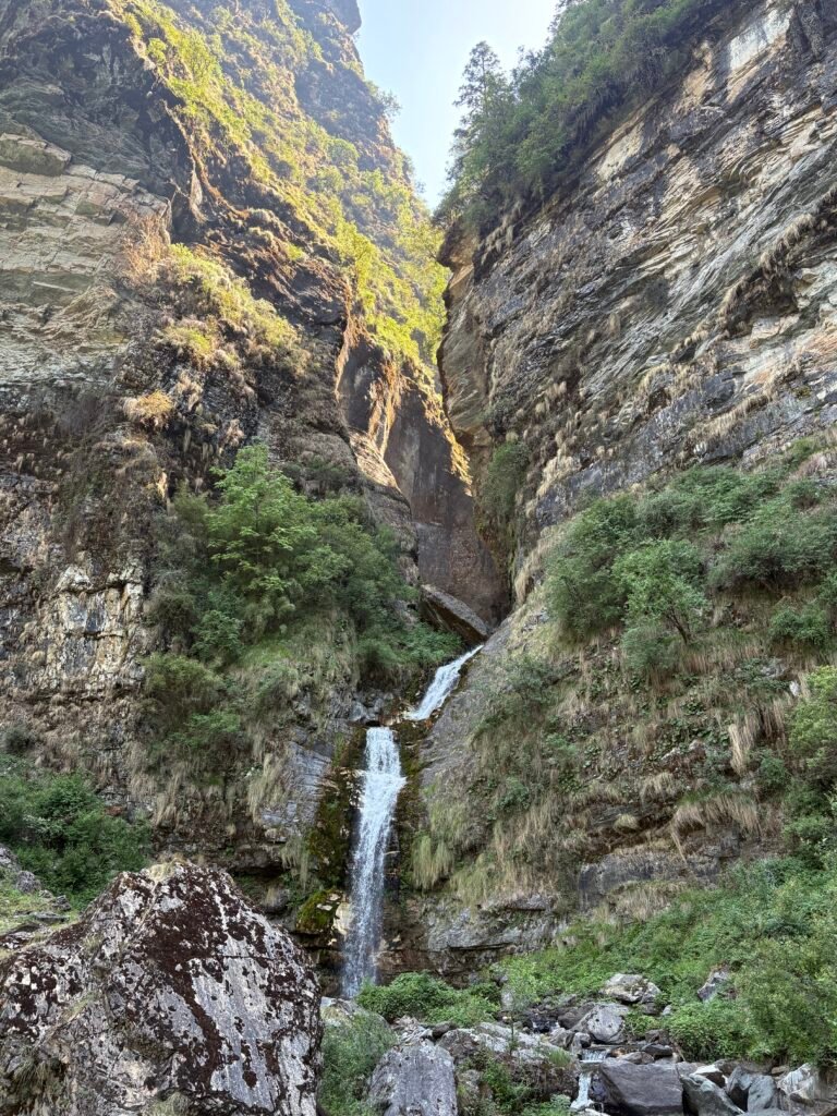
Today, we only had to cover 9 to 10 kilometers from Pana Village to Dhakwani Campsite, which is just 2 kilometers below Kuari Pass. So we were moving slowly. After you cross the ridge after 2 or 3 kilometers, there is a Shepherds campsite and we met shepherds packing as they were getting ready for next day to cross the pass. The Trail only moves north-east on the slope till you reach a beautiful waterfall. We sat there and clicked some pictures.
From Waterfall trail moves north and require a hiker to climb steep section for about 1 or 2 kilometers with elevation gain from 2700 meters to 3000 meters. For some time you move on 3000 meter till you reach Pui Gadhera as per name on Survey of India Maps. There we rested for some 20 odd minutes filled our bottle.
Then again there is a steep section for few hundered meters till you reach a campsite. We pitched our tent next to a small stream, which i forgot to mark. Because after that campsite there is no water source. We pitched our tent and i get to experience or share the food what our soldiers carry during war and normally. Puri and Achar with Tea, i was eating puri after so long so it tasted delicious to me but to them it tasted as usual. I can understand that. In the evening we had a bonefire and i felt that these guys are the most humble yet dangerous. Not dangerous for me but for the enemy of our country because of the task they do with whatever resources they have at hand.
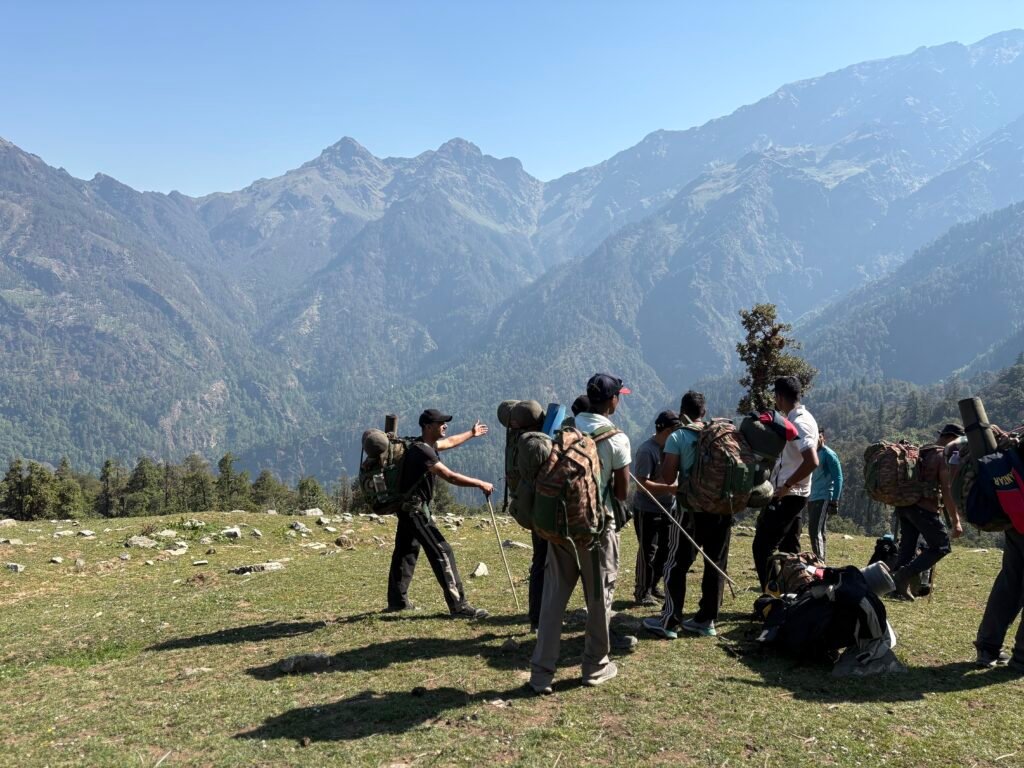
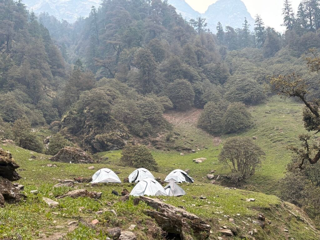
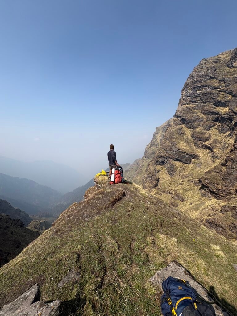
We sat under the open sky, having bone fire, listening to music enjoying till 9 PM and then after saying our good nights we called it a day. Next morning my aim was to reach Joshimath or atleast Auli. However their plan was to reach a Toli Tal Forest campsite. So as i was going they also decided to reach Auli today itself. We woke up around 5 am and again i was given tea and maggi in breakfast. I also had maggi packets but they insisted not to use it, that it will be used in my further journey. We started moving around 6 am, trail going north-east and a 2 km of climb till Kuari Pass. Before 8 am we reached the pass and clicked few pictures. Persuing our journey further, trail moves east and then again north towards Khullar Top. After some 30 minutes we started seeing so many hikers going for Khullar Top. So many groups, we continued walking and then you move north towards Jhandi Top. It was too much windy that day on the ridge line. Ridge lines moves from Jhandi Top to Chitrakantha north-west, where at last winds slowed down.
Chitrakantha is an Meadow, where we saw shepherds camp. From trail moves toward Tali forest camp, a beatiful campsite in the forest. I believe it was the India Hikes campsite. There we made tea and had it with biscuits. we reached there around 2 PM.
Trail continued on the slope till a ridge line, once you cross the forest you start seeing Nanda Devi National Park peaks in east direction. After navigating ridge it takes you to beautiful never ending Meadows.
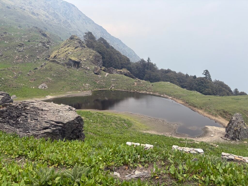
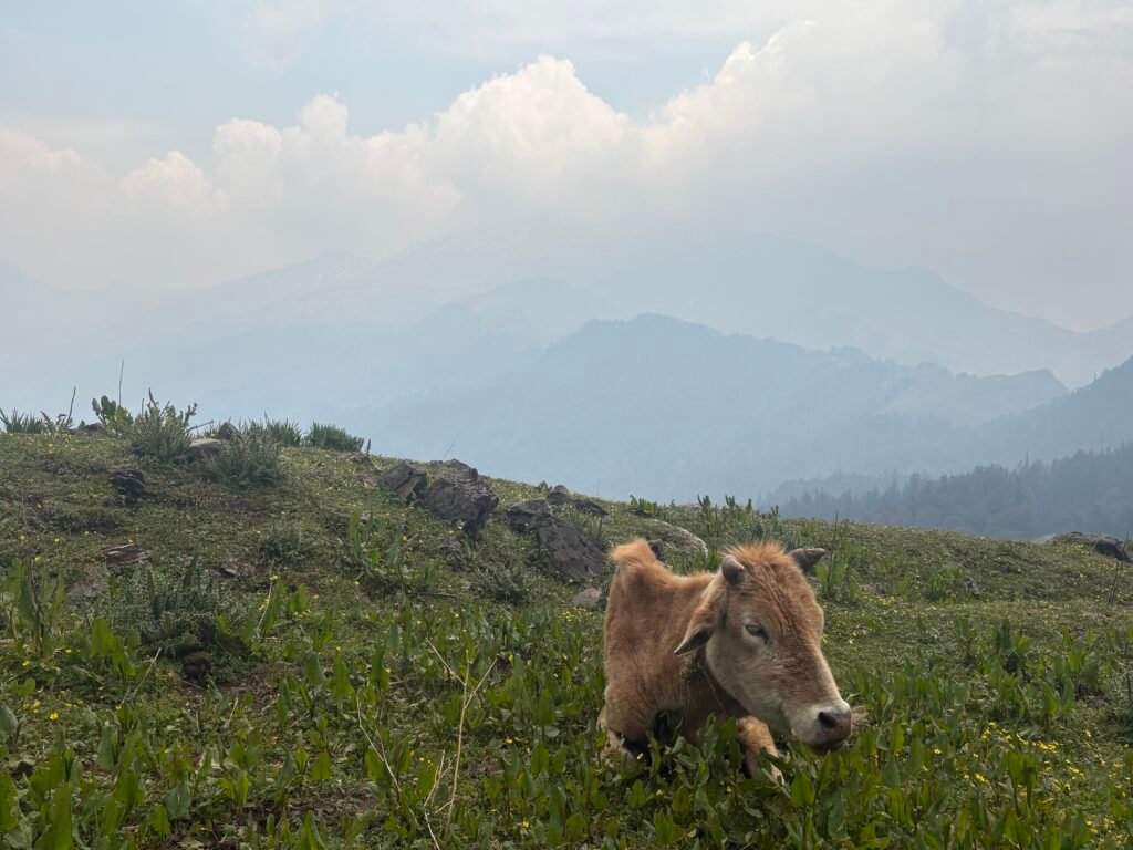
As soon as we entered Meadows it started raining. For about one and a half hour you walk through the meadows and enjoy the panoramic view of the Dhauliganga Valley. Trail ends at Auli, there we parted our ways. I decided to walk towards Joshimath via road and it started raining again heavier. The road also have a board of beware of bears. Ignoring them i continued my walk and during this walk i asked for a lift multiple times but no luck. After some 30 minutes of walking, i was able to get a lift till joshimath. As once before i came to Joshimath from there went to Niti Valley, so i checked in a hotel like last time in 800 rupees. It was all nostalgic coming back to same place once more. So that marks the end of this section and also half of the Traverse.
This blog is Part 11 of my Trans Uttarakhand Traverse Series
Full Traverse : Trans Uttarakhand Traverse Complete Guide with Route GPX
Previous: Sitel to Pana | Next: Urgam to Dumak (Coming Soon)
Final Note for Independent Hikers
If you are interested in learning independent and solo hiking in the Indian Himalayas, you can opt for the Life On Trails Field Bootcamp in Manali – a 5-day field bootcamp, not just theory.
Where I share my knowledge from hiking 1100+ km from Uttarakhand to Leh Ladakh. I teach Navigation Techniques, Campsite & Shelter Selection, Food & Water Management, Topography and Contouring, Minimalist Gears, Season & Weather Selection, Wildlife & Safety, and Culture & Villages.
You can reach out to me on WhatsApp: 918800822842 or visit lifeontrails.in