Bona To Munsiyari Trek | May 2026 | Indian Western Himalayas Traverse Guide - Pithoragarh, Uttarakhand
Bona To Munsiyari is a Trek in Kumaon Region of Pithoragarh District Uttarakhand. Complete Guide, No of Days, Route with GPX file, Food Management, Elevation Gain, In between Village.
This blog is in continuation of my Uttarakhand section of the Indian Western Himalaya Traverse. You can read the previous blog from Teejam to Bona.
In the last blog, I had already reached Madhkot, so I will continue from there.
You can download the Route GPX from here.
Watch the video for this route on Youtube here.
I woke up at 6 am the next morning, packed everything and checked out of the guest house. I was not expecting any shop to be open at 7 am for breakfast, but luckily I found one. I had a good breakfast – paratha and tea.
After breakfast, the usual drill to find the right trail to walk on. After asking a few locals, I found the right trail. To my amazement, after a few hundred meters, I could see a road instead of a trail. I can say there was a little happiness in me for a fraction of a second. You know, where there is a road, there is a possibility of hitchhiking.
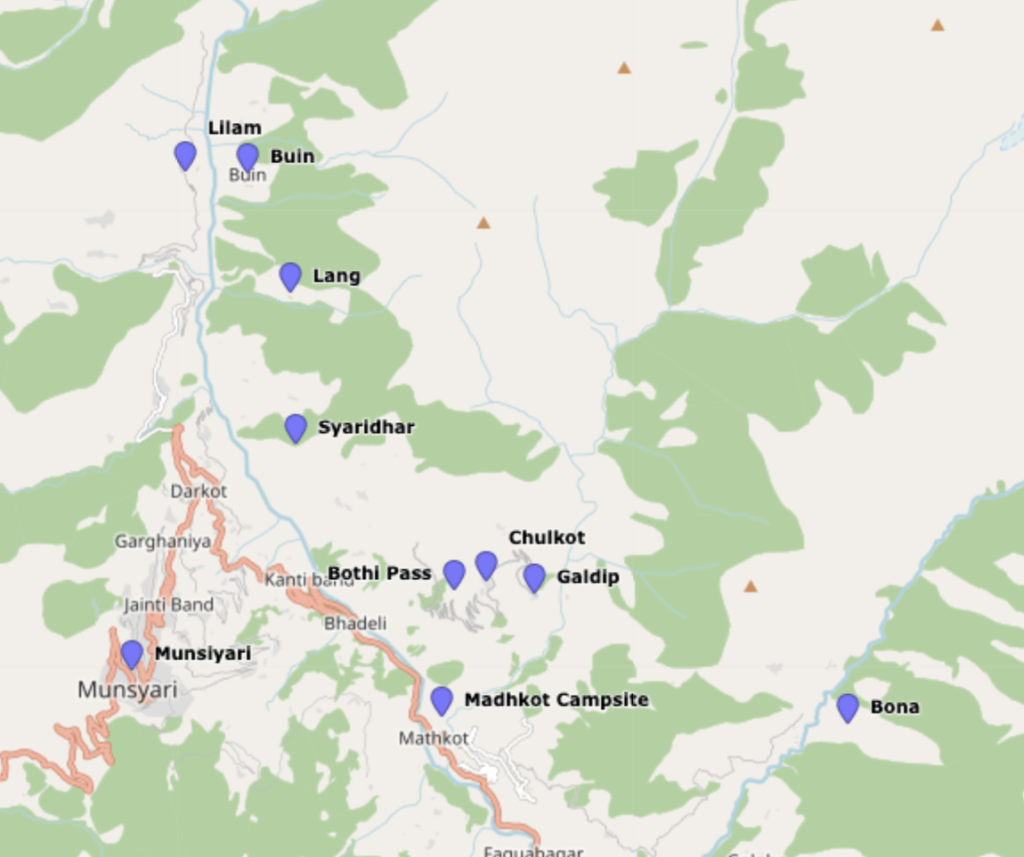
As soon as I got on the road and walked half a kilometer, I heard a vehicle coming. It was a car. I showed him my hand hesitantly but he didn’t stop. Then I saw that in about 40 meters he stopped. I ran towards him and he asked me to put my backpack in the back seat and I sat in the empty front seat. There is now a road from Madhkot to Chulkot village, although I only got a lift till Galdip village. Which was also a good thing for me.
Now the trail goes through farmland. You can see many local people working in the fields. It was early morning so the weather was perfect – a mixture of perfect cold and warm. After crossing a few fields, I saw a local guy with his mother, they were having breakfast. As usual, I have understood that here every younger person greets with Pranam, which is Namaste in Hindi, so I greeted them. He stopped me and insisted that I eat before I leave. Although my stomach was full, I just didn’t want to be rude and say no. After eating food full of love, I continued hiking towards Bothi Pass.
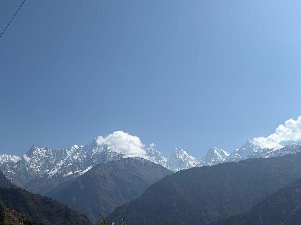
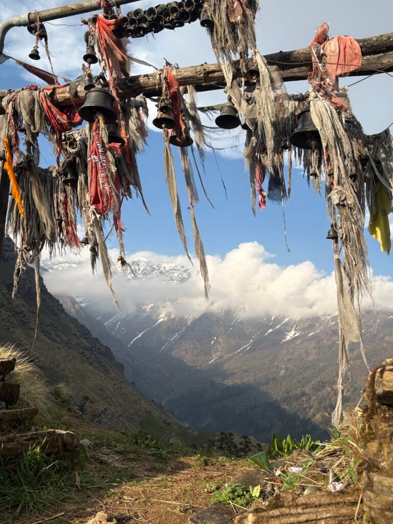
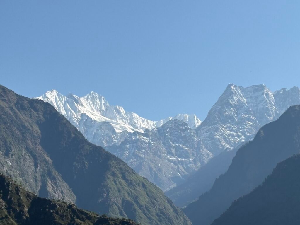
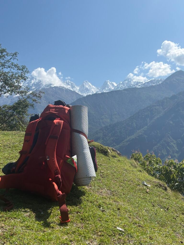
In about 20 to 30 minutes I reached Bothi Pass and from there I could see the Panchachuli range, all the 5 peaks from 1 to 5. I sat there for about 10 minutes, having a panoramic view of the area. I could see a beautiful Dhar behind me. Dhar is basically an open ground on the slope or on a ridge. In front were mountain peaks, with cold wind and warm sun. It felt like I was full with everything and nothing else was needed now.
After the short break, I continued towards the northwest on the slope. On this trail for the next 6 to 10 km there are many small villages which are now connected to the road, there are shops as well in these villages. This trail is pretty much straight with very less steep elevation gain.
Around 1 PM I reached my target village where I was supposed to camp today – Lang, a small hamlet of 3 or maximum 5 houses. From here Buin is around 4 to 5 km away. So I didn’t find any reason to camp here and decided to move to Buin to save a day. The trail is well marked and easily visible. I reached Buin in about 2 to 3 hours, around 4 PM I was in Buin.
I still had some 3 hours left before dark, so I thought why not go to Munsiyari for some sightseeing. It would hardly take 30 to 40 minutes by car to Munsiyari. But to hitchhike you need to cross the Gori Ganga via a bridge which is some 1 or 2 km from Buin, then again you have to walk some 3 to 4 km towards the main road. It took me around 40 to 50 minutes to reach the main road. From there I hitchhiked to Munsiyari.
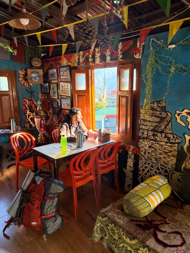
Around 6 PM I reached Munsiyari. I checked into a hostel, it cost me around 300 rs. In the evening I ate delicious momos and restocked a few items – chocolates and biscuits.
The plan for the next day is to hike up to Khaliya Top, take the ridge and cross Rur Khan Pass. I will share it in detail in the next blog.
Final Note for Independent Hikers
If you are interested in learning independent and solo hiking in the Indian Himalayas, you can opt for the Life On Trails Field Bootcamp in Manali – a 5-day field bootcamp, not just theory.
Where I share my knowledge from hiking 1100+ km from Uttarakhand to Leh Ladakh. I teach Navigation Techniques, Campsite & Shelter Selection, Food & Water Management, Topography and Contouring, Minimalist Gears, Season & Weather Selection, Wildlife & Safety, and Culture & Villages.
You can reach out to me on WhatsApp: 918800822842 or visit lifeontrails.in