Kullu To Prashar Lake: A Solo 55 km Hike
A 55km solo multi-day hike from Kullu to Prashar Lake via Khais Dhar, Kandi Pass & Nargu Sanctuary. GPX file, campsites, water sources & solo trek lessons.
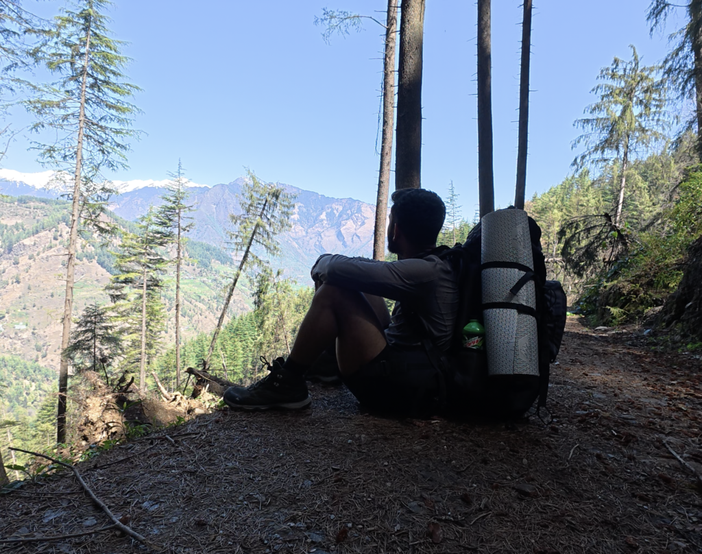
April in the Himalayas is an awkward season. The high passes and peaks are still buried in snow, but the mid-altitude ridges of Kullu start to breathe again. I wanted to use this window for something more than a weekend hike.
This wasn’t just a trek to Prashar Lake. It was a test.
A test to understand what it feels like on a multi-day hike. What gear is actually necessary and what I can leave behind. How much can I walk in a day with a full pack? How does it feel to hike solo? To sleep alone in a forest? To be completely responsible for my own navigation, food, and fear.
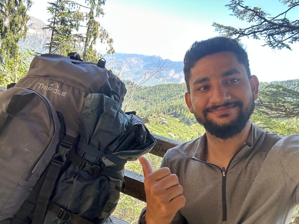
This was my final shakedown before I embarked on my month-long traverse. If you want to know what I carried, I have already written a detailed blog on my complete gear list https://lifeontrails.in/1100km-solo-himalaya-gear-list-western-himalayas
Day 0: Manali to Kullu – The Unplanned Start
I left Manali for Kullu. Kullu doesn’t have dorms or hostels like Manali, so I checked into a small hotel near the bus stand.
Evening prep was simple: I bought my standard lunch – chocolate and biscuits. I rarely eat a full lunch on trail, a biscuit and chocolate are my go-to. I also packed dinner for the next day.
Day 1: – Jamdagini Rishi Mandir to Camping with Shepherds – Getting Lost and Finding Tea
I started early, around 8:30 AM after breakfast.
You can download the GPX file of this route here: Download GPX
Note: From above link you can download the GPX file, On waymark hiking trail you will see a tab on right side to download route. Expand and click on “Get file” file will be download.
The trail starts from Jamdagini Rishi Mandir, one of the most beautiful temples I have seen in Kullu. Till the temple, there is a motorable road and a small village, but there is no public transport. You have three options: book a private taxi for around Rs. 1500, get lucky with a lift, or walk the old local trail that connects to the last road head. I chose the third.
This is a local trail, not used much anymore because of the road. Very few people walk on it, so I had to check my GPS every 5 to 10 minutes to make sure I was on track.
After reaching the last road section, my luck worked – I got a lift right up to the temple. I sat there for a while, had a banana, drank water, and explored the temple complex before moving on.
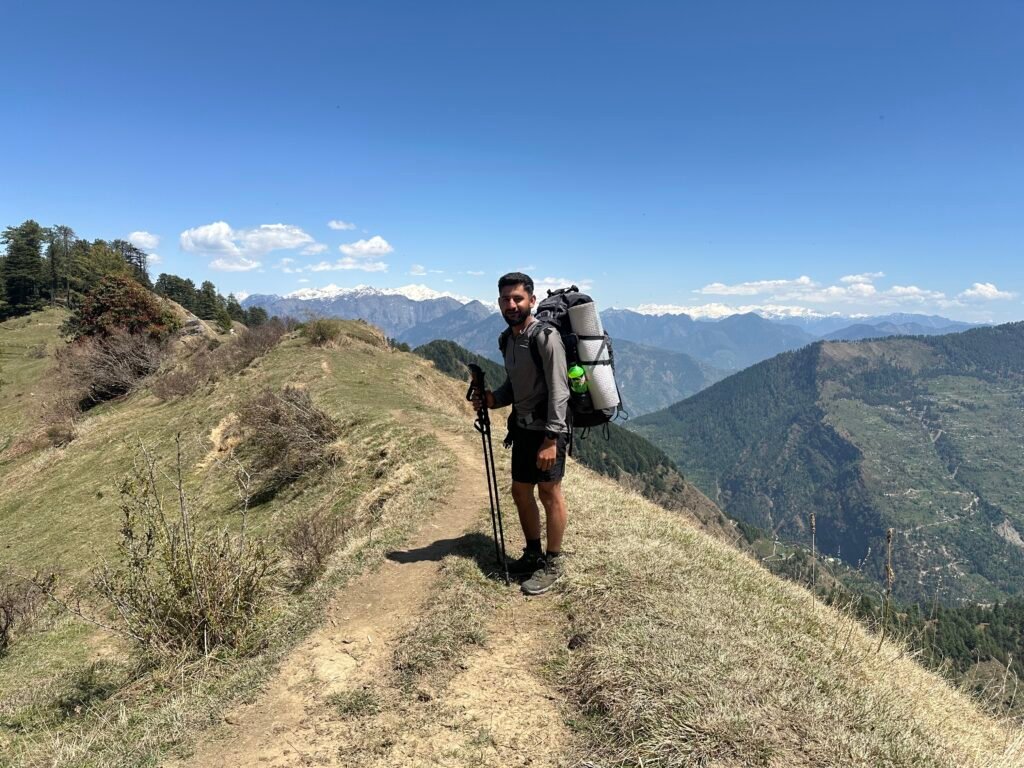
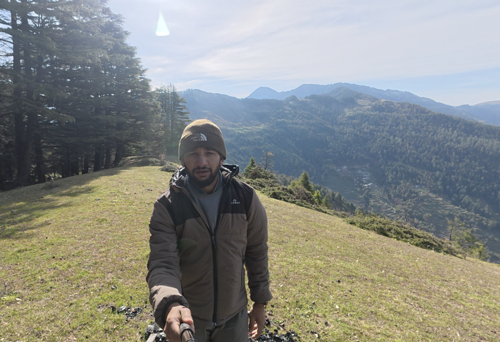
From the temple, the trail enters the beautiful forest of Khais Dhar. Here the path is well-maintained. You will cross small villages and meet many locals on the way.
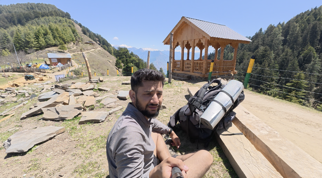
Around 10 AM, I reached Khais Dhar itself. It’s a proper camping spot with a few local shops. There are also camping huts on the ridge, right between the forest, with a stunning open view.
From Khais Dhar, you move southwards along the slope till you hit another ridgeline which marks the boundary of the Nargu Wildlife Sanctuary. From that ridge, you drop down into the valley towards Bansu Village and then down to Riyun Nala.
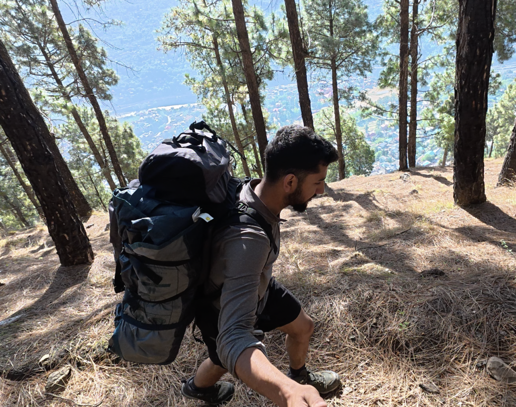
You cross the nala and then comes the tricky part – a dense forest on the slope covered completely with dry leaves. It was difficult to navigate. It was already 3 PM by then, and I had to be quick to find a campsite before sunset. Instead of wasting time searching for the invisible trail, I decided to contour along the slope, following the elevation.
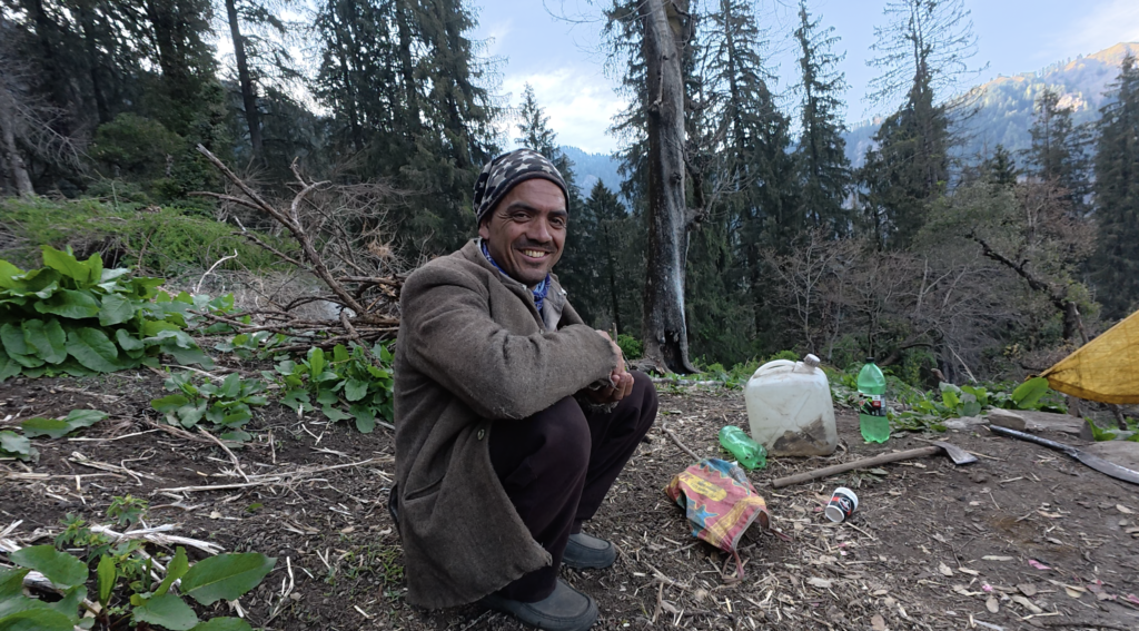
An hour before sunset, I reached a small clearing. I was happy to see a shepherd camp there. I asked if I could pitch my tent nearby, but he offered me tea and insisted I sleep in their camp instead. That night, I didn’t just get a place to sleep, I got a good, hot dinner – Gaddi roti and sabzi. That’s the magic of the Himalayas.
Day 2: – Pauni Jot to Arang Village – Ridges and Riverbeds
Next morning, after a hot cup of chai with the shepherds, I started hiking southwest towards Pauni Jot. I reached the Jot around 9 AM.
From the Jot, the trail drops sharply westward down the slope all the way to Padhar village. From Padhar, you walk along the Serira Nala.
I decided to camp at Arang Village. There are no hotels or homestays here. There is just one small shop where you can eat. I found an open ground near the nala, along the road, and pitched my tent there.
Day 3: – Arang Village to Kandi Pass – The Shepherds Highway
The next morning, I took a bath in the Serira Nala – it’s not really a nala, it’s a beautiful, clean stream.
After walking about a kilometer on the road, the trail turns southeast after Niyawal village towards the Seri hamlet. Above Shanoru, the trail goes eastward along the ridge.
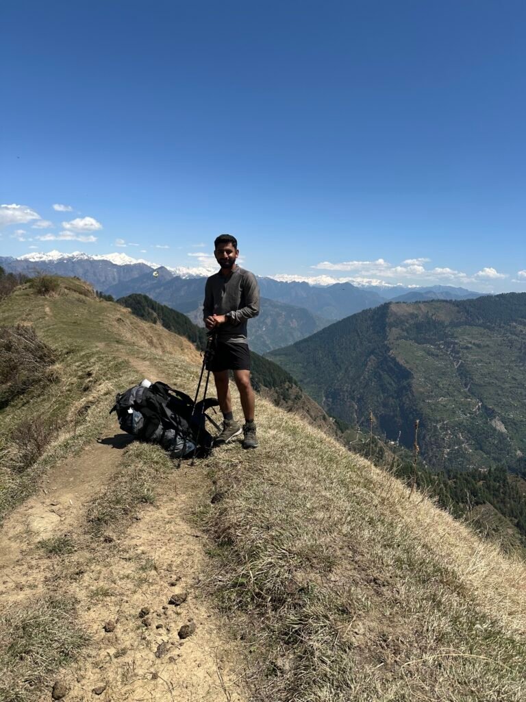
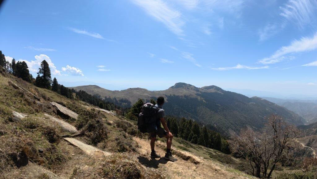
This entire ridge is a shepherd highway. You will find many small, seasonal camps, some with permanent huts, all the way till you reach Kandi Pass.
Kandi Pass has 2-3 small shops. Don’t expect much – but you can restock biscuits and chocolates. I stopped for tea and continued on the south ridge. After 200-300 meters, there is a dhar where you can camp. That’s where I spent the night.
Day 4: – Kandi Pass to Prashar Lake – The Hidden Water and Final Ridge
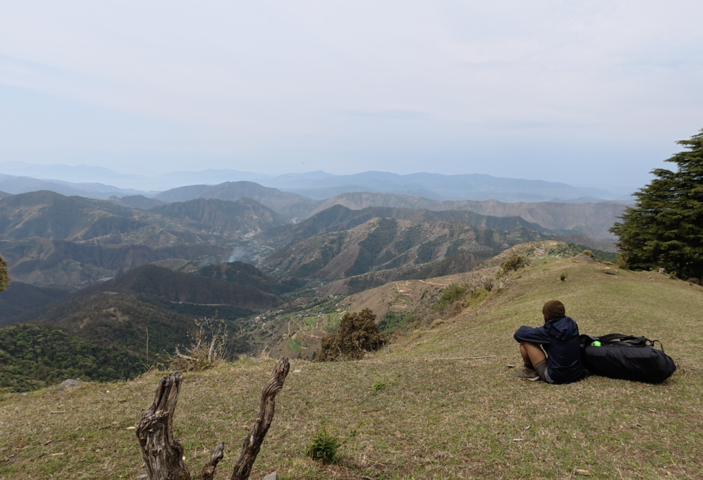
This was the most crucial day. I packed everything and started moving on the southwest ridgeline. Again, a dense forest where the trail almost disappears. I followed the contour and reached a dhar above Madath village. There is a small, very beautiful temple on the ridge. Locals have their second houses here which they use during monsoon.
Important note for future trekkers: There is no water source from this last campsite till Prashar Lake.
I was fortunate again. I found two local girls at the temple who showed me a hidden stream nearby. If you don’t know about it, you will never find it. The stream has some local legends attached to it. I drank two bottles full and filled up.
From there, the ridge turns east and for the first time, you can see Prashar Lake in the distance. Then comes a final 500-meter uphill push. The ridge then turns southwards towards the motorable road that goes to Prashar.
Once you reach the road, you have two options to stay. You can camp – you’ll have to find a flat space or ask a local dhaba owner. Or you can try the two Forest Rest Houses. I asked a dhaba owner who was staying in the Forest Guest House, and he let me camp in their compound. The helper there was even kinder – he offered me his own room with two dorm beds.
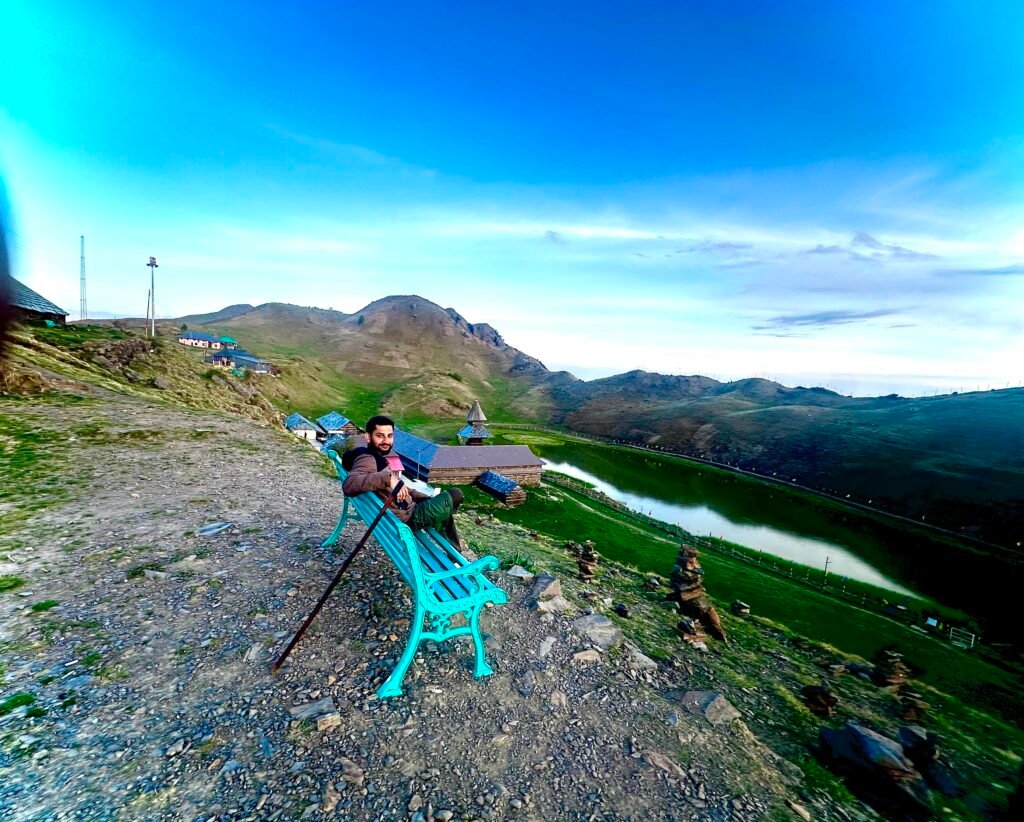
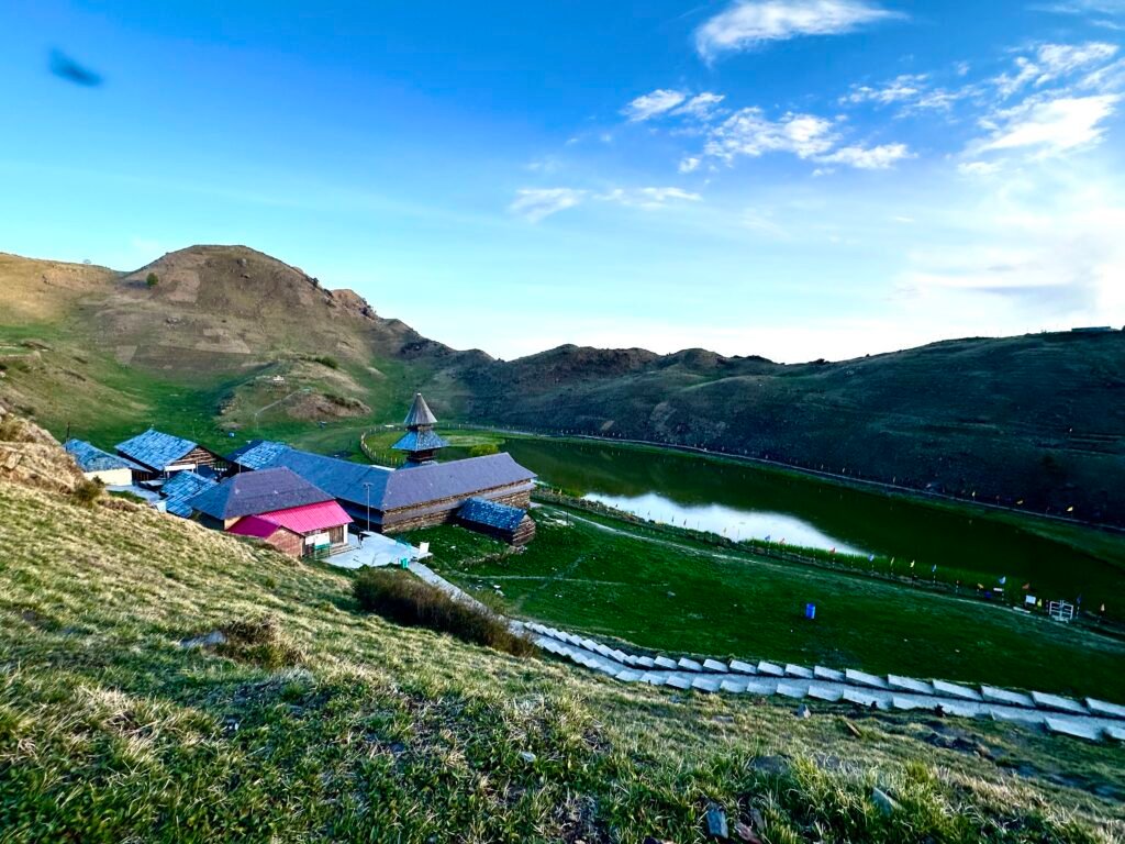
The next day I explored Prashar Lake and the ancient temple. It was new for me. In the evening, the lake has a completely different energy – very calm, very positive. I sat there for an hour and it affected me deeply. It’s beautiful precisely because it’s still less touristy than you would expect.
How to get back:
Hike down: You can hike down the traditional trail to Aut and catch a bus to Kullu/Manali from there.
Bus from Prashar: There is a local HRTC bus that reaches Prashar Lake around 11 AM and leaves for Aut around 2-3 PM. At an intersection on the way down, you can catch a connecting bus to Kullu.
The whole hike was 55 km. More than the distance, it gave me something bigger – confidence. Confidence that I can manage multi-day solo traverses, navigate through forests with no trails, and find kindness in the most remote places.
I will soon be uploading detailed blogs for short hikes around Kullu and Manali, so stay tuned.
READ MY JOURNEY OF INDIAN WESTERN HIMALAYAS – https://lifeontrails.in/i-hiked-1100-km-solo-and-self-dependent-in-indian-western-himalayas