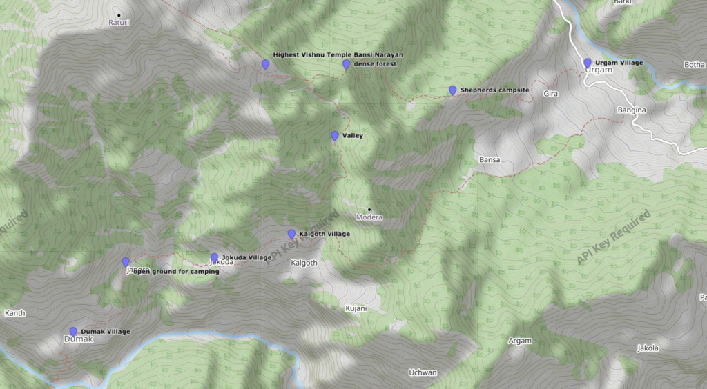
Urgam to Dumak via Bansi Narayan Temple | 20 km Trail Logs from Trans Uttarakhand Traverse
Part 12 of Trans Uttarakhand Traverse a 900 km sub-4000m Hike Through Uttarakhand | Highest Vishnu Temple at 3570 meters | Solo Field Notes, Campsites, Elevation Gain, Map Routes
This blog is Part 12 of my Trans Uttarakhand Traverse Series
Full Traverse: Trans Uttarakhand Traverse Complete Guide with Route GPX
Previous: Pana to Joshimath | Next: Dumak to Rudranath Temple (Coming Soon)
Download Route GPX: Urgam to Dumak Route
Urgam Valley known due to the one of the Panch Kedar temple. It hosts one of the panch kedar temple and yearly lot of people visit the valley as a part of their pilgrim journey. In the last section, I covered Pana to Joshimath. From Joshimath there is no trail to Urgam valley, you will have to take a transport. There are many sharing taxis go to Urgam village and charges 300 rs per person. The journey time is less than two hours. I reached around 1 PM and decided to stay in a homestay. There are lot of Homestays and Hotels, starting from village up till the temple. I checked-in a homestay, which costed me 700 rupees for a day and 150 rupees for a single meal. The valley provides the beautiful view and a peace, in the evening you can see the peoples in numbers coming and going for the temple. I decided to go for a walk and visit the temple, Temple is situated at the right bank of Kalpa Ganga River. You cross the river by a bridge and on the right side of the bridge there is a beautiful waterfall.
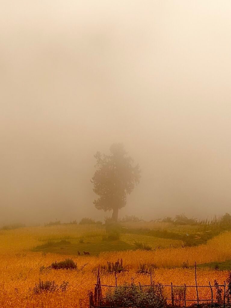
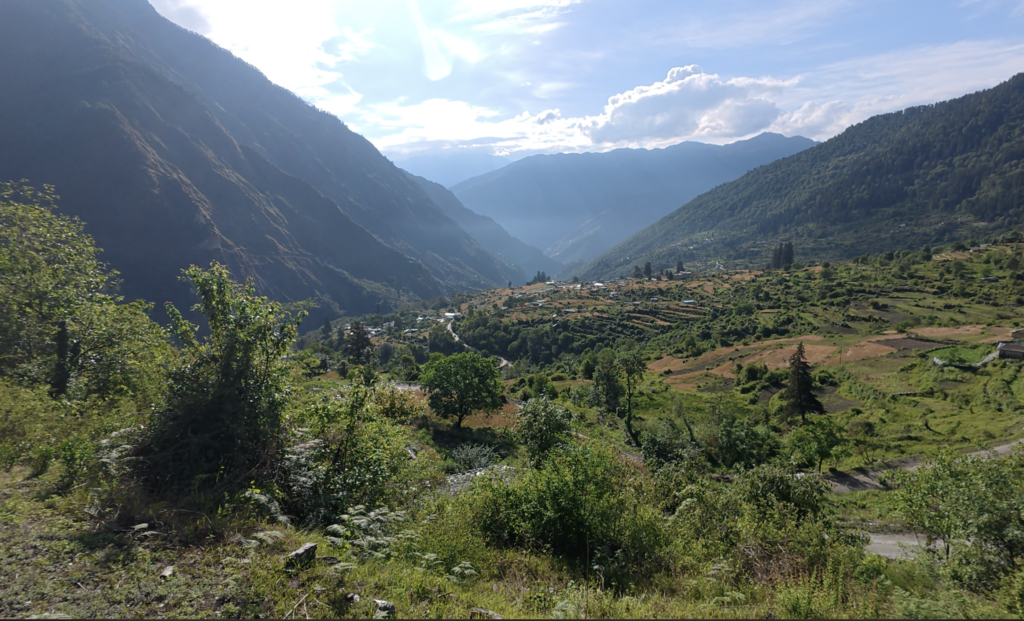
I planned to move next day to reach Dumak Village via Bansi Narayan Temple, which is situated at an altitude of 3570 m. Unfortunately, the weather was not on my side and I had to spend one more day in the village. I checked the weather forcast for the next and it was showing clear till 1 PM, plan was to reach the temple before 12 PM and hike down to Kalgoth village before weather changes.
I woke up around 5:30 am and packed my bagpack. Had my breakfast at homestay itself and packed 2 parathas for the dinner. Started my hike around 7 am. From the village trail moves towards east, However the trail showed on the map has a disadvantage because of dense forest. Before leaving i asked many locals about the trail, so everyone suggested me a trail which is shorter and goes towards the temple. I still choose to take the marked trail and after steep climb through dense forest, had to find the trail multiple times. Reached a point where that trail meets another trail coming through the village. You can see in the route map, I took a marked trail and another trail directly go to Bansa village south of the ridge where there are shepherds hut and meet the marked trail just few meters before the ridge. So my recommendation is to take the trail suggested by villagers.
After you reach the ridge trail moves north-east along the slope till you reach next ridge. This forest is heavly dense, however you will find a trail easily made of stones and during my time it was also marked with arrows. Last month, indian army conducted a trail run from Urgam to Ukimath and they marked complete route with small flags and arrows.
From the second ridge, you move sharp west and continue further only on the ridge and gain elevation from 3000 meter to 3500 meter till you reach the temple.
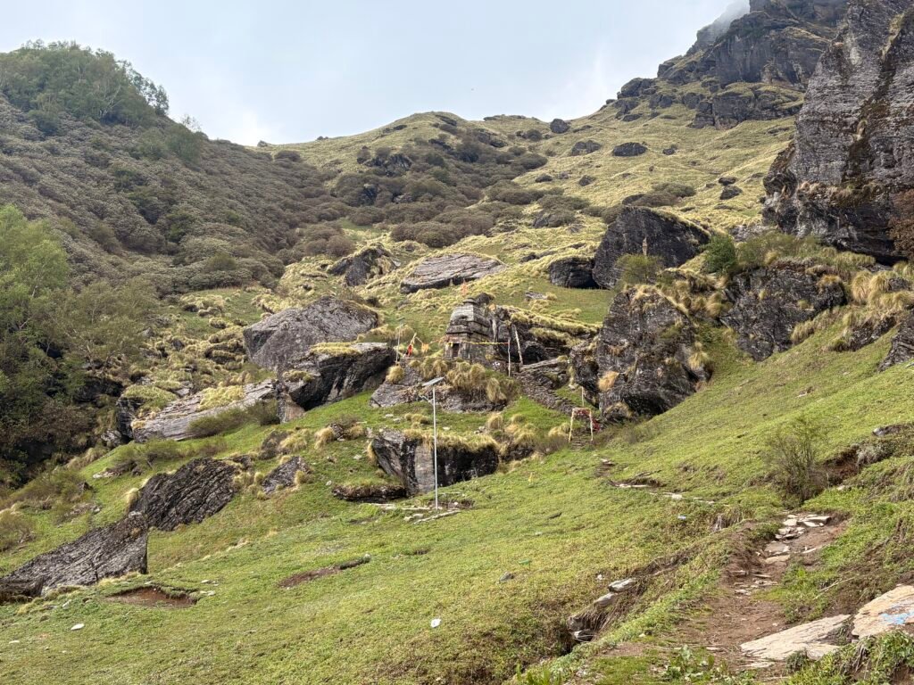
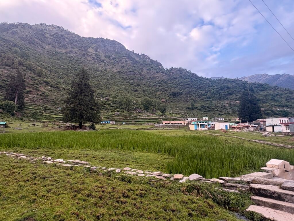
In between I met a Sadhu, who had been living near the temple for last 11 years meditating. He was walking barefoot, i was amazed and curious at the same time. Then i met few guys who were coming down after camping at the temple. The Trail is preety steep after 3000 meter till the temple. Around 12 PM, i was able to reach temple. I could feel the energy of the place and it was so calm and positive, i was completly relaxed after spending 20 minutes there in the solitude. It is one of the best place to be if you want a solitude. The Temple remains closed 364 days and only opens on Raksha Bandhan. There are 2 or 3 small huts there in which you can sleep or pitch your tent nearby.
From the temple trail moves down through the valley southwards alongside a stream for about 3 to 5 kilometers. Heads up this is also a dense forest and i was fortunate that the trail was perfectly marked by indian army. Before 3 PM, i reached Kalgoth village could see people working. From there, you will reach a road which is under construction and is built till where two Gadhera Pang and Sari Meets. From there you will have to walk on loose rock path for about a kilometer or two to reach Dumak Village.
In the Dumak Village, you have very few homestay and where i stayed, owner is also building a dormatory as well. I was charged 600 rupees with single meal you can choose dinner or breakfast. I already had aloo pratha with me so i choose breakfast. To buy anything there is only one shop, you can buy biscuits or anything else but nothing fancy.
You can also pitch your tent in an open ground in the evening as lot of childrens were playing there. So that marks the end of this section, in the next section i will share a newly explored route to rudranath Temple.
This blog is Part 12 of my Trans Uttarakhand Traverse Series
Full Traverse: Trans Uttarakhand Traverse Complete Guide with Route GPX
Previous: Pana to Joshimath | Next: Dumak to Rudranath Temple (Coming Soon)
Final Note for Independent Hikers
If you are interested in learning independent and solo hiking in the Indian Himalayas, you can opt for the Life On Trails Field Bootcamp in Manali – a 5-day field bootcamp, not just theory.
Where I share my knowledge from hiking 1100+ km from Uttarakhand to Leh Ladakh. I teach Navigation Techniques, Campsite & Shelter Selection, Food & Water Management, Topography and Contouring, Minimalist Gears, Season & Weather Selection, Wildlife & Safety, and Culture & Villages.
You can reach out to me on WhatsApp: 918800822842 or visit lifeontrails.in