Trans Uttarakhand Traverse | May - June 2026 | Complete Guide With Route GPX, Trail Information, Elevation Profile, Gears
Trans Uttarakhand Traverse is a 900 km Sub-4000 m Trek Through Uttarakhand From Nepal Border To Himachal Pradesh
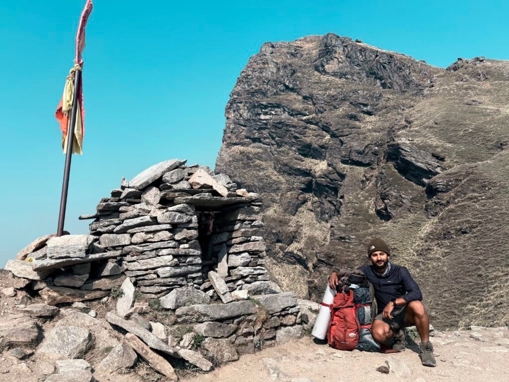
Kuari Pass
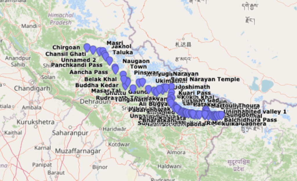
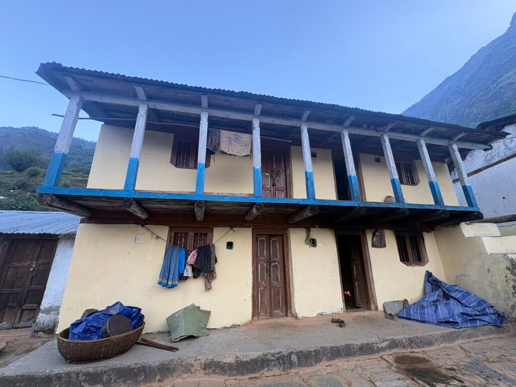
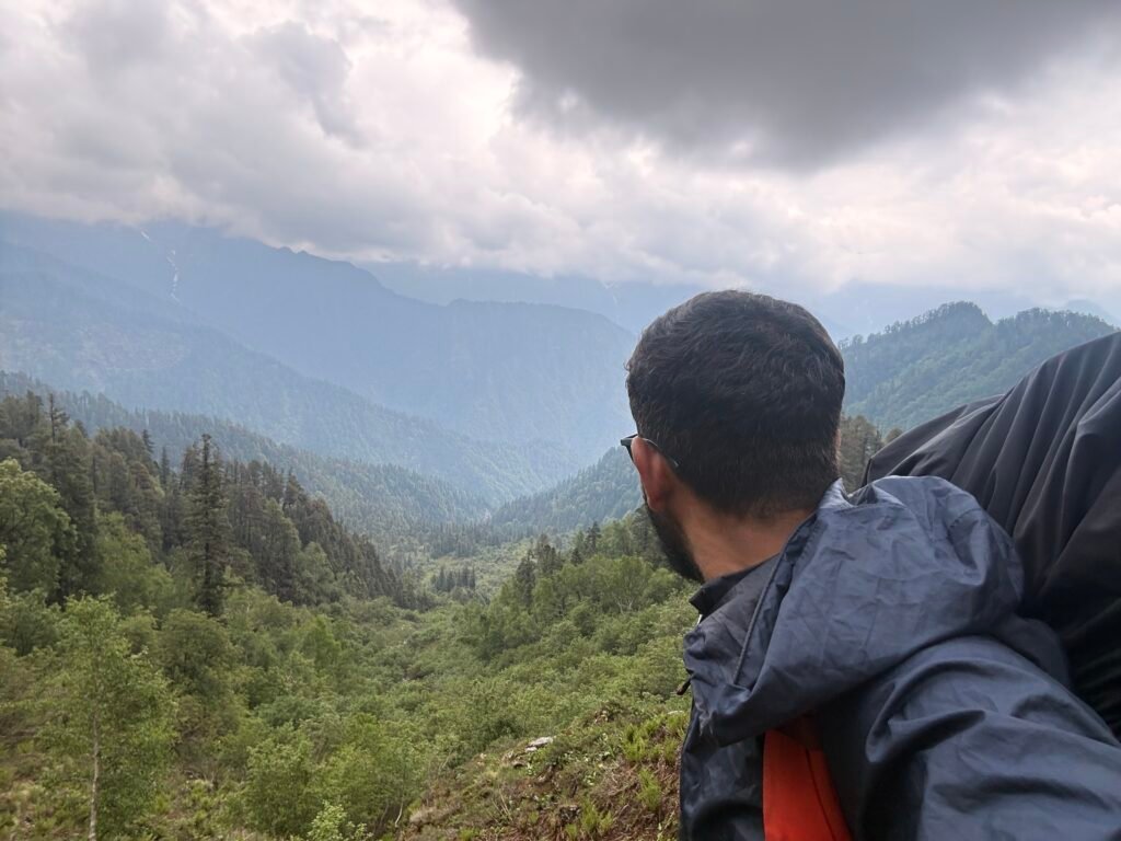
Trans Uttarakhand Traverse is basically a 900 km hiking trail passes through Uttarakhand from East to West of Sub – 4000 meter Passes, river valleys, small hamlets(A small village of 5 to 10 houses), Villages and Towns in between. It covers Kumaon and Garhwal, And the district of Uttarakhand starting from east – Pithoragarh, Bageshwar, Chamoli, Rudraprayag, Tehri Garhwal and at last Uttarkashi to west.
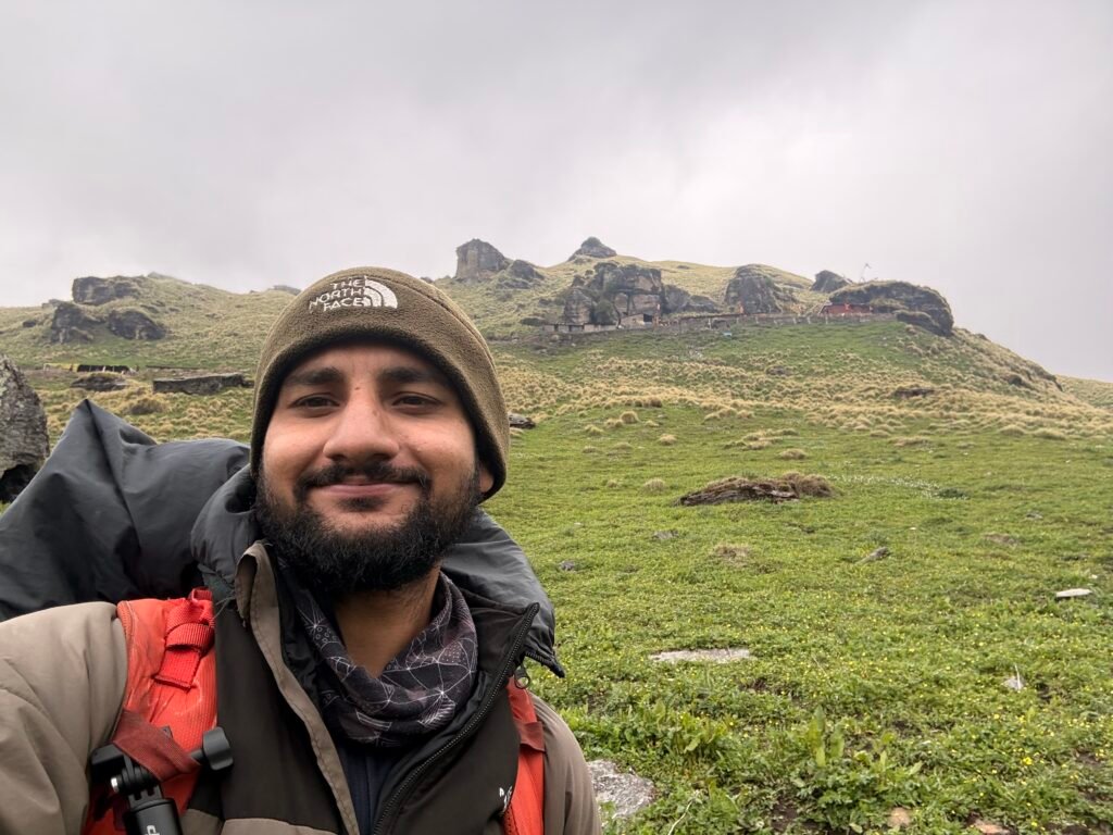
Independent or Solo Hiking is not that developed or known in Indian hiking Sphere. The Reason only handful of people know about this Traverse (In simple terms it means you don’t come back from the same route, you enter the valley from point A and exit from point B). On top of it only less than 5 people have done it Independently and majority of them are International hikers. I can proudly say that i am the first indian hiker to do it solo and documenting this Traverse.
I Planned this traverse which include – Choosing the Route, Food Management, Choosing the Season, keeping an eye on weather, Campsites, Right Gear [ My Gear List], Navigation. Everything mentioned is Planned and executed by myself by going through multiple sources over internet. I am writing this detailed blog so that you won’t have to.
Important Note:
You can plan your own traverse with the help of this blog, however you need to understand that this is not for begineers, For this you will need basic skill in Navigation – Map reading, understanding Contours, Basic Sense of Directions in the forest, Mountain Features. On the trail multiple times where you will be in a situation where GPS does not work such as in Deep river valleys and gorges, there you have to use contours or paper maps. Sometime Trails are hidden because of leaves or you will see multiple trails which put you in a situation where you will be confused which trail to choose. So never go outdoor without the required skills.
Geography of Uttarakhand & Traverse Route
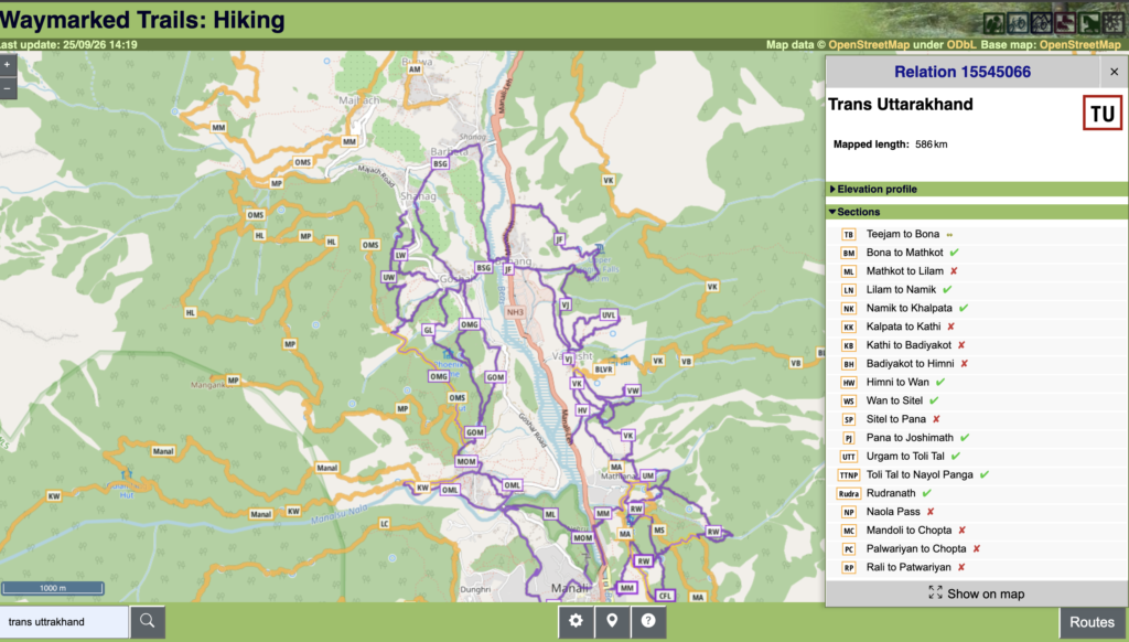
Waymark Hiking Trails
The Traverse route can be downloaded as a GPX file from [ here ]. It has multiple Sections in it either you can hike them seprately or together as a single hike over multiple days.
Uttarakhand on the east have border with Nepal, Himachal Pradesh on the West and Tibet on the North. It has two distinct Cultural Region(both having different languages,food and culture) – Kumaon & Garhwal. State has total of 13 district, however this Traverse passes through – Pithoragarh, Bageshwar, Chamoli, Rudraprayag, Tehri Garhwal, Uttarkashi.
In Uttarakhand there are 3 long belts of Mountains running from West to East.
1: Shivalik Range(outer himalayas) – 600 m to 1200 m
2: Lesser Himalayas(Middle Himalayas) – 1500 m to 3000 m
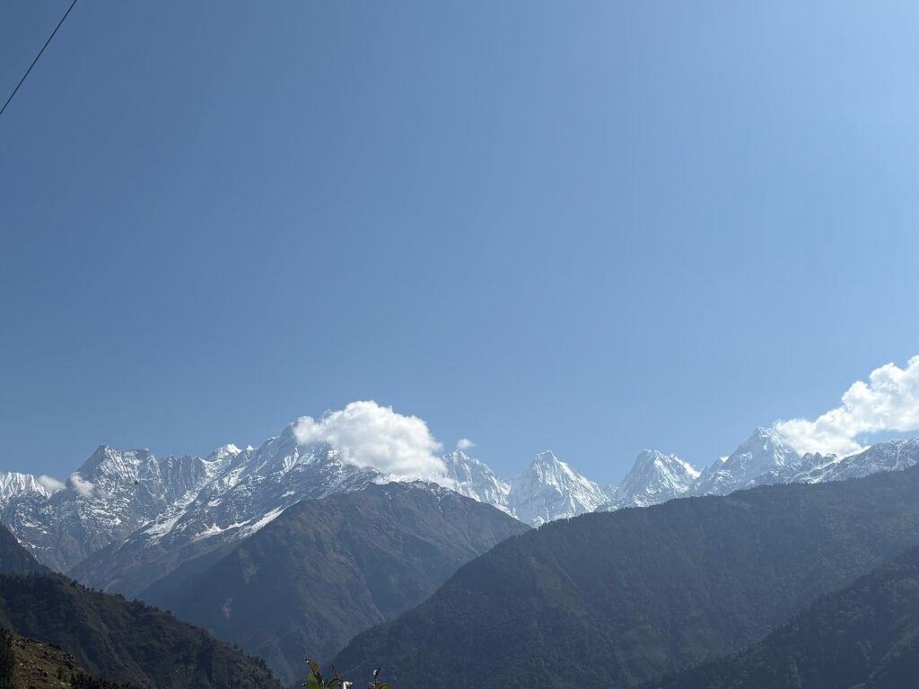
3: Greater Himalays(Himadri) – 3000 m to 7800+ m
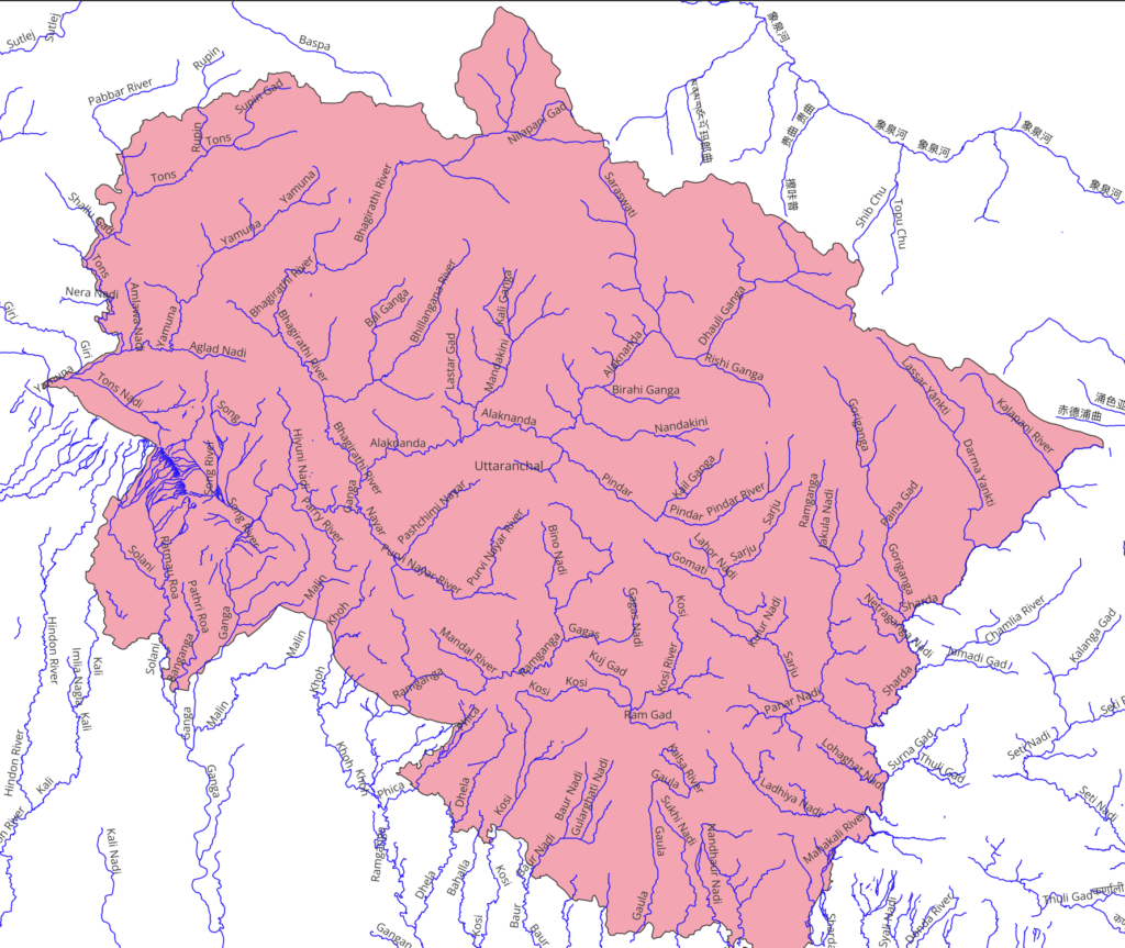
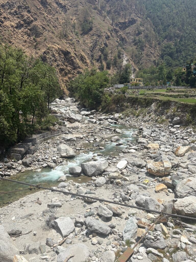
This Traverse does not stay in one range it cut across them moving from one river valley to another. Reading about the Geography by theory is one thing and walking through these river valleys and getting to know about the sources of different – different rivers gives you an excitement of another level. Major river valleys such as – Goriganga, Ramganga, Pindar, Nandakini, Alaknanda, Mandakini, Bhilangana, Balganga, Bhagirathi.
Trans Uttarakhand Route
Major Rivers of Uttarakhand
Nandakini River
Sarju River Valley
Season & Weather
To do hike anywhere in the world, going in right season and weather window is very important. Why both these factors matter. In the Himalayas the snowline shifts on Altitudes as per season for example – You can hike Sub-2500 m Passes during Winter (Jan – Feb), Sub-3500m (March – April), Sub-4500m (May – June), 5000+ m (August – September). However during Monsoon (July – August) Himachal Pradesh and Uttarakhand are flooded, during this time you can hike in Lahaul and Spiti which faces relatively less rainfall or another best option is to hike in Ladakh which has the best trails and less crowded, where you will get the actual feeling of being in Wilderness. I have recently completed 700+ km of hike from Spiti, Himachal Pradesh – Leh, Ladakh. Keeping above Information in mind you can choose your hike.
Now, I completed this traverse in May – June month. Right Season, in addition to it i was keeping an eye on daily weather. During these two months, i faced very less rainfall. I would say 3 to 5 days out of 28 days.
For Weather reports, whenever i had access to internet checked the report. Personally i was using Windy.com and weather forcast app on my Iphone. I am using permium account which shows the weather report of next 10 to 15 days.
Navigation
Now a days, you don’t need to carry paper maps to navigate there are lot of app which provide you the functionality to have offline maps at any point of time on Trail. However, still as a backup you can carry Paper Maps. I am using OSMAnd app for my navigation, it is a very useful app on the trails. All you have to do is upload the GPX file of your route and start hiking. OSMAnd app have a version which is free with some limitation and Paid version has more functionality such as contour lines, Hill Shades and other additionals.
1: OSMAnd Pro, Alltrails, Mapy.com
Available on both Androind and Iphone. Have Free and Paid Version
You can use other Apps which are mentioned above.
2: Survey Of India Maps
For Survey of India Maps you can check the sheet number of the area, States are divided into square boxes and all these square boxes have Sheet Number. To find out the Sheet Number you can go to Indigeo Website here. Let’s Say you want to find out the sheet number of area from Munsiyari to Rur Khan you will Zoom in near munsiyari and see a box, click on it and it will give you sheet number 62B4. Then you will go to survey of india website here. Which requires you to register yourself once done you will see multiple options to download Maps go for “Open Series Map Download” which will be a PDF. there you will be redirected to a page where you will be asked to enter sheet number, after entering click on download and it will give you a detailed map of that area with old shepherd route and trekking routes.
As per new information for Safety reason, Many trekking routes are removed from the Map. My suggestion is to keep these as the backup only to understand the features on the Map such as where is the stream, or hamlet, village or road. Then follow Contouring techniques and reach to that feature.
3: Asking Local About The Trails
Always before leaving a village gather information from locals about the trail you are going on if there is any new knowledge about it. Sometimes you get to know whether trail is changed or shorter trail is made or if anyone is going so that you can follow him.
4: Take help of Shepherds
Shepherds are like living maps of the himalayas, a shepherd of an area knows the trail better than anyone. Sit with them, gather knowledge from them about the trail or any other knowledge you want to know about.
There are other techniques you can follow. You can join “Life On Trails Bootcamp” to learn all the skill to be an independent hiker. These skills gives you lifetime free access to hike in the himalayas and free from going to any Trekking Companies.
Sheet Number From IndiGeo
Survey Of India Map Sheet
Sections In The Traverse
This traverse is made up of multiple section, which i will be mentioning below with short summary and you can read in detail about each section here.
1: Teejam to Bona
Distance – 28 km
Passes – Balchidhura(3900 m), Guindar Khal(3800 m), Dharati Khal (3430 m)
Sewa is the last village on Uttarakhand – Himachal Pradesh border which is next Masri village. This village marks the end of Trans Uttarakhand Traverse. From there you can hitchike to Chirgoan and enter Himachal and from there take a bus to anywhere. In addition to you can also go for Rupin Pass and reach Sangla.
Important Note:
In case you need Guidance with Traverse Planning you can reach out to me via Whatsapp link or on any other Social Media.
Or you are new to Independent hiking and want to explore the himalayas on your own terms, you can opt for the Life on Trails Bootcamp, which teaches you skill to Navigate through Himalayas. This bootcamp teaches you skills which will give you life long access to Himalayas and explore them independently.